|
Images Index> 20th & 21st Century, Matlock> This page |
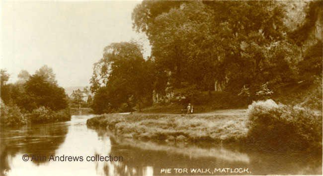
| Matlock : Pic Tor and the River Derwent, early twentieth century |
| Matlock : Twentieth Century Photographs, Postcards, Engravings & Etchings |
|
|
||||||||||||
At a meeting of the Matlock Improvements Association in 1908 the secretary, Mr. Barnes, stated that the Midland Railway had been provided with views of Matlock for their railway carriages and the committee had requested him to arrange a new series including one of the pretty Pic Tor promenade and its environs. It was good publicity for a town attracting visitors to Matlock as a health and pleasure resort[1]. It was also something different from the images of High Tor that had previously been used to publicise Matlock.
|
|||||||||||||
|
1. "Matlock. Pic Tor". "Celesque" Series postcard, published by the Photochrom Co. Ltd., London and Tunbridge Wells. No. F.32685. Not posted. 2. "Pie [sic] Tor Walk, Matlock". One of Valentine's Picture Panels of Matlock & District. Twelve Real Photos, printed in Great Britain. No.61----. About 1909. Postcards in the collection of and © Ann Andrews. Information researched, written by and © Ann Andrews. Intended for personal use only. |
|||||||||||||
|
[1] "Belper News", 29 May 1908. Adding
to Matlock's Attractions. |


