|
Images Index> Matlock Bath, 20th and 21st Century Images> This page |


| Matlock Bath: Temple Walk |
| Matlock Bath : Twentieth Century Photographs, Postcards, Engravings & Etchings |
|
|
||||||||||||
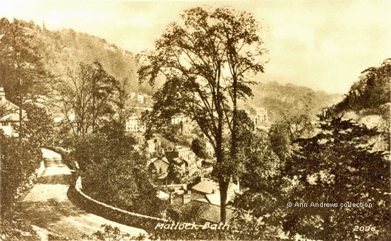
Temple Walk
is one of the older roads in Matlock Bath and the 1848 tithe
map shows it only going approximately as far as the Temple Hotel[2] -
it stopped where the Pitchings crosses the modern road. According
to both William Adam and Benjamin Bryan, the workmen who built
it made an interesting "find". They discovered the
head and antlers of a very large moose deer when they were cutting
through the tufa bank to make the road[1][
3].
These were sent to the British Museum. |
|||||||||||||
"Matlock Bath" Postcard, no.2096, in the collection of, provided by © Ann Andrews. Written and researched by and © Ann Andrews. Intended for personal use only. |
|||||||||||||
References (coloured links are to transcripts or more information elsewhere on this web site): [1] See William Adam's "Gem of the Peak". The Temple was an annexe to the Old Bath. The moose information is contained in one of the footers under Southern End of the Dale [2] Matlock and Matlock Bath Tithe map, 1848, Derbyshire Record Office [3] See Bryan, Benjamin (1903) "History of Matlock - Matlock, Manor and Parish" London by Bemrose & Sons, Limited |